The Hole of Horcum

The Hole of Horcum
The Hole of Horcum and Levisham Moor, taken from the Whitby to Pickering road

Tuesday 17 September 2013

Last day in The Okanagan

Our last day in the Okanagan Valley, tomorrow we move off in the direction of Vancouver. The weather has changed a little,
last night we had a storm with wind and  quite heavy rain, but today all is well, the temps. have dropped to the low 20s. and there is a bit of cloud around, good weather for our last day of exploring the valley.
 
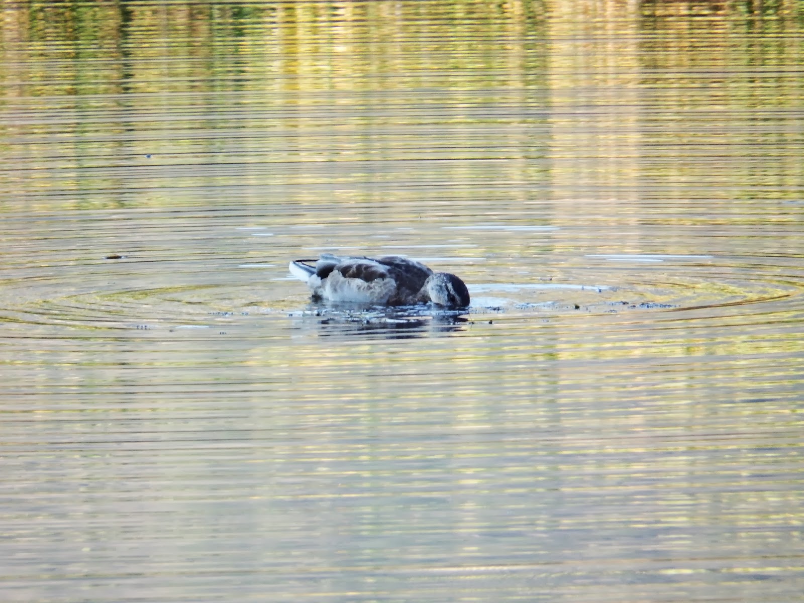
This pic. taken yesterday morning as we walked along the river, I tried every thing to get this fellow to turn round but to no avail, so in the end we have a shot of his rear end.
 
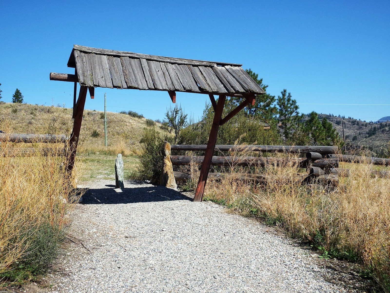
Just love these signs.
 
This is the end of the canalised part of the river as it runs through Oliver, they are undoing a lot of the old work done on controlling the river and trying to get some of the wetlands back.
 
This land on the right is part of the flood zone, I took this pic. because we intend to come back to the Okanagan in the spring. It will be interesting to see what it will look like after the snow has melted.
 
Back to today, this morning the tree men were in the park trimming the Willows.
 
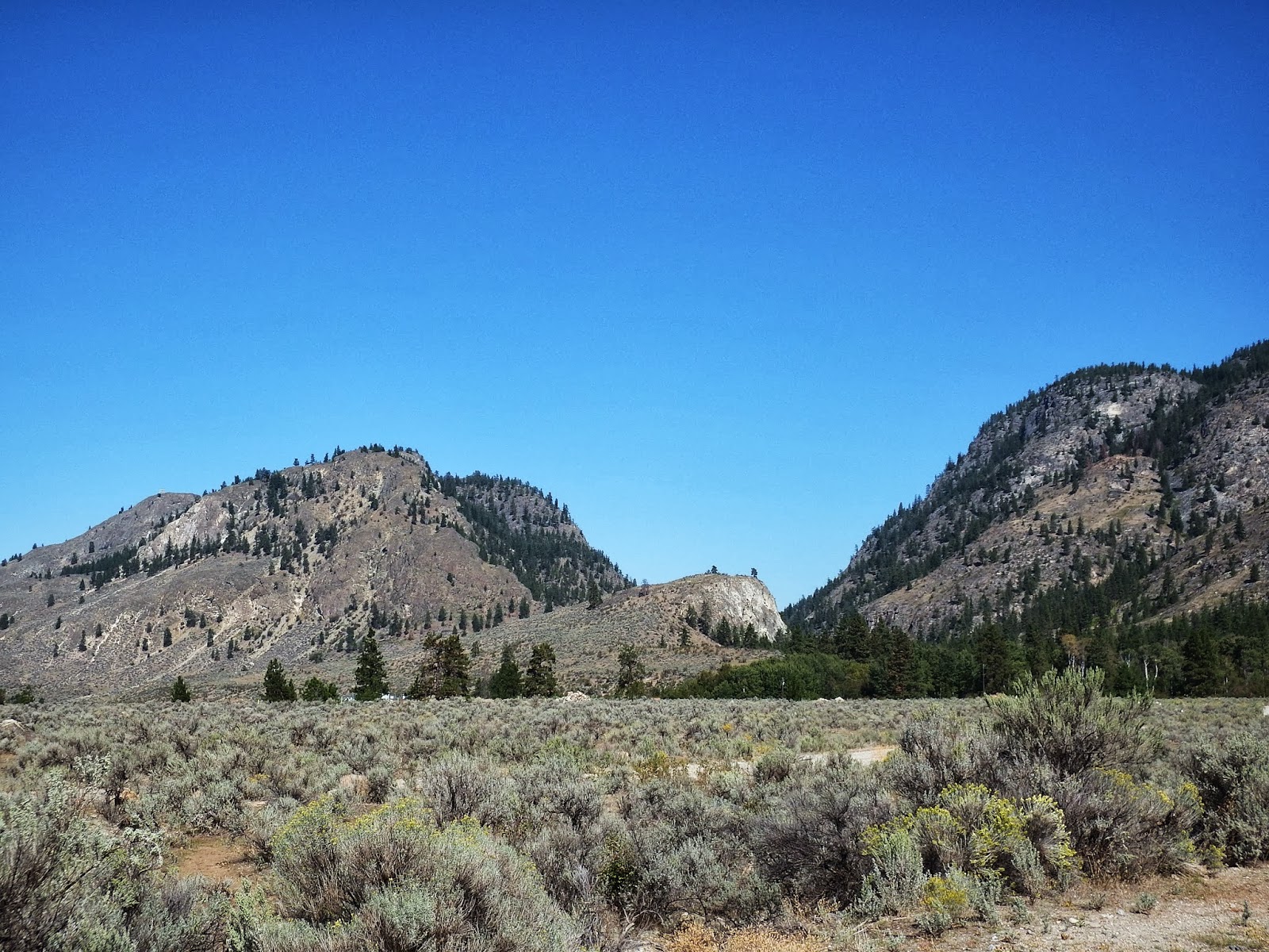
A visit to balancing rock
 This old farm building and others on the farm have been declaired  heritage buildings and are going to be rescued.
The old and the new.
 
A lot of work to restore these old buildings.
 Ospreys.

 
Two pics. not the same bird, the top one taken driving south to wards Osoyoos, it had just caught a fish, you can just see it under its claw. The bottom pic. was taken on the way back facing north it also has something in its claws, not sure what it is.
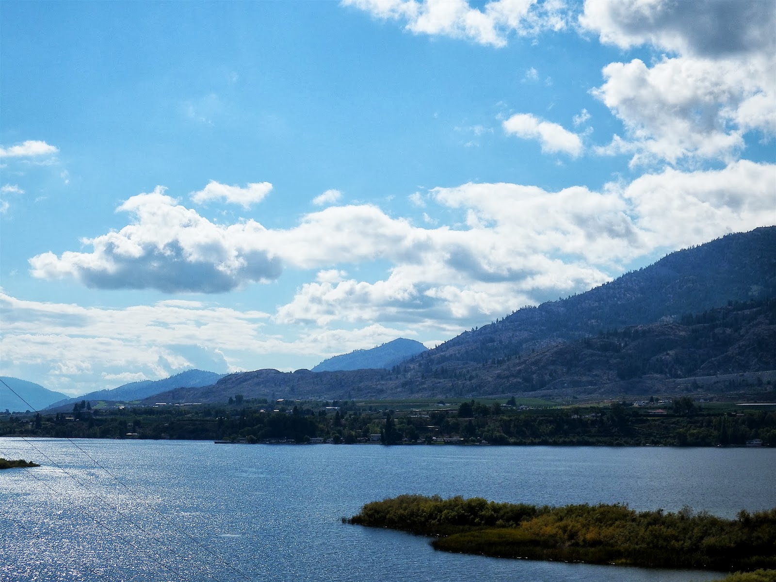
 
Lake Osoyoos.
 
The wetlands between Oliver and Osoyoos, the Okanagan River is allowed to find its own way here.
 
Last view of The Okanagan Valley - Rocks, vines, orchards.

Sunday 15 September 2013

Scenes from the back roads of The Okanagan.

Well we managed it, up and on the road by 7:30 (early for us) Found the wildlife park - no wildlife - one duck and some gulls. The water fall was just a bit of whitewater rapids, but not all lost, we returned to Oliver by some back roads and came across some magnificent scenery.
 
"The Duck"
 
"The Gulls"
 
"The Okanagan Falls"
 
And then we saw this!
 
A few steps further
 
Vaseau Lake, the first two pics looking south and this one looking at The Okanagan River running into  Vaseau Lake.
 

The boardwalk from the lookout back to the car park.

 
Past "The Duck"


And on to more gorgeous scenery.


This is Mahoney Lake, we stumbled on this lake and can find no mention of it it any of the tourist stuff we have on the area.


 Just love this, something you never see in europe. Any motor as old as these would be in a museum or driven at weekends to auto shows, great to see them used as roadside attractions.
  
Last view of a lake with a vineyard in the background, in the hills above Okanagan Falls.

 
This pic is just in case you thought the ducks where of the plastic variety, you know the ones hunters use! 

Saturday 14 September 2013

A walk alongside The Okanagan River and a quick trip back to Summerland.

Yesterday we went for a walk alongside the river here in Oliver, we didn't go as far as we would have liked, it is very hot over 30c. By around 11:30 the heat got to us both and we retreated back to the campground and the shade of the willow trees.
 
This photo of the lake taken around 8:30 before the heat haze

  
These two photos of some rapids on the river, the top one taken on our walk out, the bottom on our walk back,what  the difference an hour or there abouts makes to the light.
 
Fun photo of the water park.
 
This willow is next to out trailer, that hole could have been made with a hole saw, amazing how a bird can make a hole like that.
 
I must have taken about 50 pics of this woodpecker, it just wouldn't keep still, pesky thing!
Today Friday we had to make a trip back to Summerland to pick up some stuff from the bank and take the truck back to the garage to have a wheel sensor replaced. It was the best thing to do today, sitting in an air conditioned truck, the temperature today was 34c.
 
Main Street Summerland.
 
Lots of vines. 
The weather man tells us we have this hot weather till Monday when they expect some showers, so the plan is to go and visit some waterfalls and a bird reserve before breakfast tomorrow and then hide under the willows for the rest of the day. Thats the plan!

Thursday 12 September 2013

Scenes from the Southern Okanagan Valley

. This morning we explored both sides of the valley from Oliver. We went up the east side to begin with, on the road leading to Mount Baldy.
 
We have left behind the irrigated valley and are in the desert, I beleave most of the Southern Okanagan looked like this before the built the irrigation canal in the early 20s.

 
Its quite beautiful in a strange way 
 
Desirable residence, every offer considered, outstanding views, open aspect, own water supply, air conditioned.

 
Higher up we reach the trees.
 
On the way down this herd of horses crossed the road in front of us, semi wild I think.
One of the horses changes its mind (on the right)
 
And recrosses the road, behind us now.
 
We are on First Nation Land, A bit confused which Band (is that the right word) One sign says Okanagan First Nation another Osoyoos and the map we are using Inkaneep.


We then drove back down through Oliver and up the west side of the valley to the original settlement, called Fairview now abandoned.

 
The left side of the old fence is where the township stood.
 
Some TLC required for the entrance gate.
 
Looking south, the cross is where the church stood, it was moved up the valley to Okanagan Falls and is still in use.